Ottawa is in the middle of its wettest summer on record, and the effects are being felt across the Mississippi River watershed, where several upper lakes saw flooding in recent weeks.
More than 510 mm of rain has been measured at the Ottawa Airport so far this summer, breaking the previous record of 464 mm set in 1972, according to Environment Canada data cited by the Mississippi Valley Conservation Authority (MVCA) in an update posted August 14.
The authority, which manages water levels across the Mississippi Valley watershed west of Ottawa, said the season stands in sharp contrast to last year, when the same region was heading into a severe drought. This summer has instead brought frequent intense thunderstorms and heavy rainfall, pushing water levels and flows beyond historical norms.
Months of heavy rain
Precipitation over the past three months has run about 160 per cent of normal, and in the last 30 days some areas have received more than 200 per cent of their usual rainfall, MVCA reported.
Two storm systems did particular damage. MVCA said storms on July 1 and again on August 2 and 3 each dropped more than 100 mm of rain on some areas in under 24 hours.
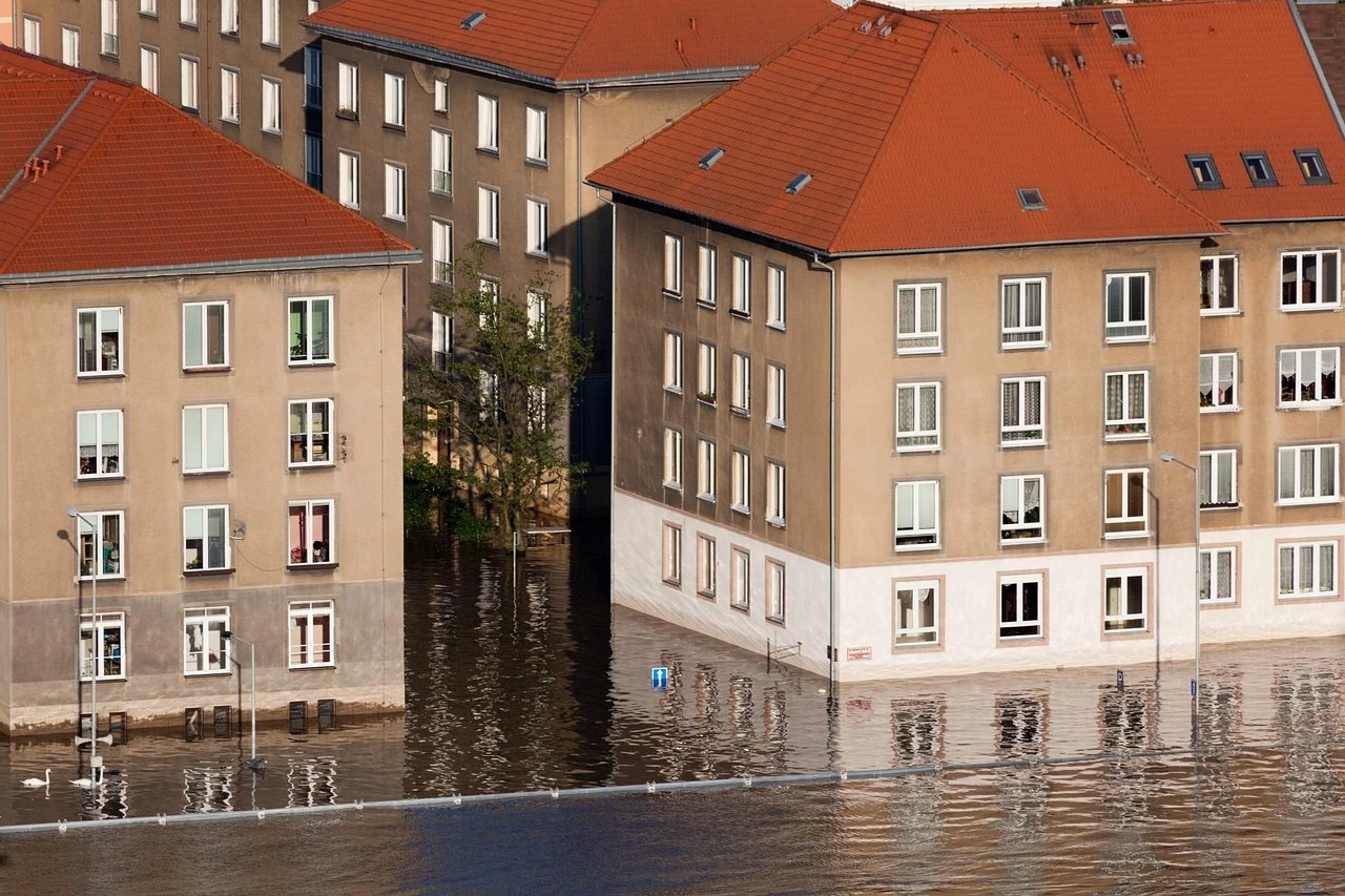
That heavy rain and runoff, falling on ground already saturated by earlier rainfall, led to flooding conditions in several upper lakes in the watershed, including lakes without dams such as Sharbot Lake.
Downstream impacts
As water levels rose in the upper watershed, the excess flows moved into the lower Mississippi River system, fed as well by numerous uncontrolled tributaries. As a result, downstream lakes also saw elevated water levels.
Following the rain over the August long weekend, water levels on Dalhousie Lake rose by roughly 60 cm, while Mississippi Lake rose by about 35 cm, according to MVCA.
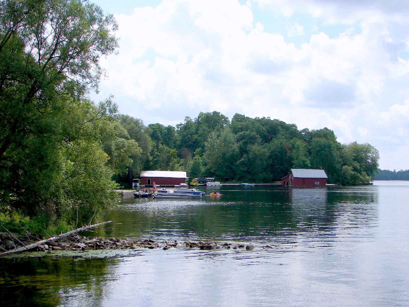
The authority noted that both lakes remain well below regulatory flood levels, but it cautioned that elevated water can affect shorelines, docks and boats — a practical concern for waterfront property owners and boaters across the region.
Levels now receding
There is some good news. Lake levels across the watershed have peaked and are now gradually receding as the excess water drains through the system, MVCA said.
The authority expects water levels to slowly return to more typical seasonal conditions, though future rainfall will influence how quickly that happens. Staff will continue to monitor conditions across the watershed and operate water control structures to reduce impacts.
MVCA issues Watershed Condition Statements as needed to inform residents about current and forecasted conditions. Residents can sign up for notifications and check current and historical water levels through the authority's Interactive Watershed Map on its website, according to a post from the Mississippi Valley Conservation Authority.